
Bakersfield Neighbors by Block
The block around a Bakersfield address can be read through several official layers. The QueryMap and address service show points, parcels, roads, tracts, ZIPs, wards, zoning, land use, and city limits. The Kern Assessor card adds APN, ATN, situs, values, and use or characteristic information, but the web card suppresses owner names. The Recorder index begins with a named party or document, not with a public block roster.
| Source | What it shows about a block | Access |
|---|---|---|
| Bakersfield QueryMap | Addresses, parcels, tracts, ZIP, ward, zoning, land use, services | Free map and layer service |
| Address-point layer | Address, APN, ATN, OLD_ADDRESS, unit, ZIP, mailing flag | Free feature service; point limits apply |
| Kern Assessor | Parcel card, public use, values, map link | Free address search; names suppressed |
| Kern Recorder | Named parties and instrument chain after a clue is known | Online index, kiosks, counter, and mail copies |
| City permits and records | Projects, work, applicants, professionals, city files | Permit portal or public-records request |
| Historical directories | Past listed households at an address | Beale Library and repository catalogs |
These sources describe land and records around the block. They do not create a complete list of everyone who lives nearby.
Map Adjacent Bakersfield Neighbor Parcels
Start with one known address and move outward in small, documented steps. The Bakersfield address-point layer can return address components and parcel keys. The city warns that not every point is a mailing address, so check IS_MAILING_ADDRESS before reading a point as a home.
- Locate the address point and record address, APN, ATN, OLD_ADDRESS, ZIP, unit, source, and mailing flag.
- Turn on parcels and zoom to block scale. Identify the subject parcel and each touching or nearby parcel.
- Open the Kern Assessor card for each address and save public use, characteristics, values, and map links.
- Use spatial or distance selection when a radius is needed, while noting the service result cap and selected-record cap.
- Overlay ZIP, ward, zoning, land use, water purveyor, maintenance district, inspection zone, and city limits.
The flow is address point, parcel, APN or ATN, public card, lawful named-party source, then independent verification. A map click can show that two parcels touch. It cannot show a family relationship or prove who is inside a building.
The captured address layer is linked to its official feature service below.
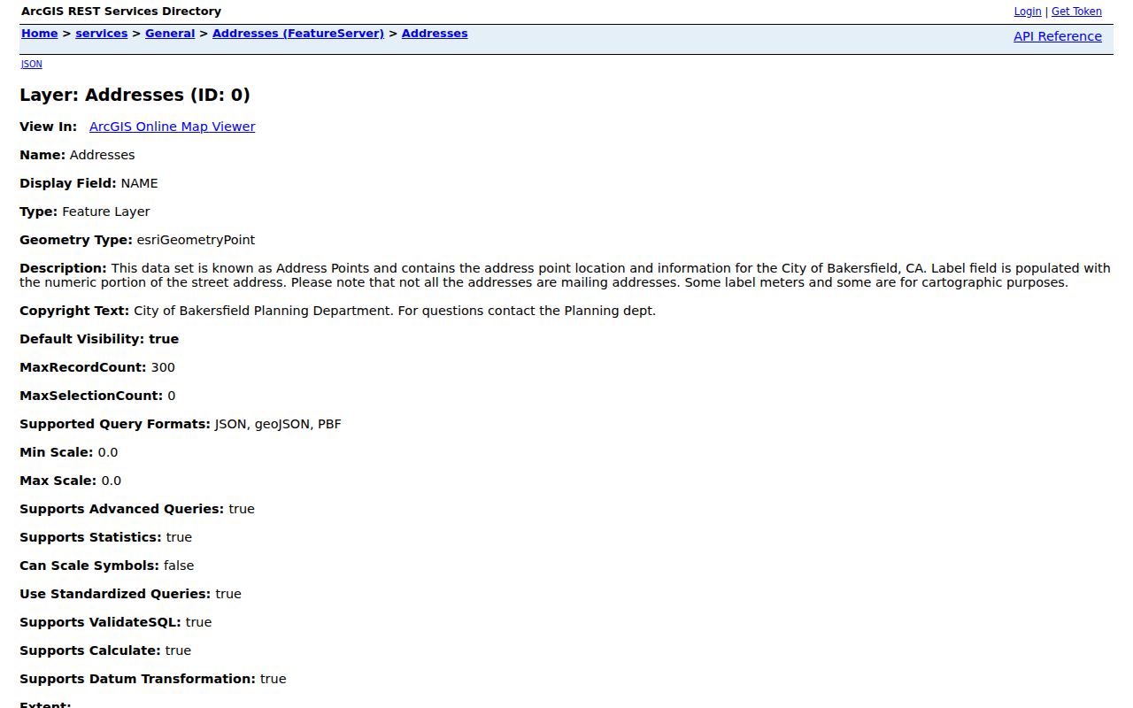
Address points are the block's starting geometry. They are not a public household roster.
Bakersfield Neighbor GIS Address Points
The address service includes STREET_NAME, OLD_ADDRESS, ADDRESS, NUMBER, fraction, prefix, name, type, suffix, unit, source, comment, floor, floor count, building ID, common name, ZIP, IS_MAILING_ADDRESS, unit designator, and class. Those fields support a careful block map. OLD_ADDRESS helps connect a renamed or renumbered address. Unit and building fields help distinguish a multi-unit point from a simple street label.
GIS limits matter. QueryMap is documented with limits of 1,000 records and 2,000 selected records, and one address-service configuration can cap results at 300. Pagination, statistics, and extent queries can organize map data, but a service response remains geography and attributes, not proof of occupancy.
The Bakersfield GIS mapping portal provides the local launch route captured here.
Use the field names in a research note so an address point can be revisited and checked against the parcel map.
Bakersfield Neighbor Spatial Queries
A block search can include more than parcels. Bakersfield QueryMap and the boundary service offer ZIP, ward, zoning, land use, General Plan, solid-waste and street-sweeper areas, tentative tracts, water purveyors, inspection zones, code enforcement, annexations, sphere of influence, specific plans, and supervisor districts. Two adjacent parcels can therefore share a street but fall under different services or jurisdiction lines.
Use a spatial query to select nearby features, not to generate a list of people. Note the query distance, layer, date, result count, and whether the feature is an address point or a parcel. For a current owner question, the map should lead to an APN and a lawful Recorder or counter channel. For a past household question, it should lead to a directory, census, newspaper, or deed search.
The Kern public parcel viewer adds countywide parcel context. Its map layer is useful for geography, even when a named-party lookup must move to another office.
Bakersfield Neighbor Building Records
Bakersfield Development Services combines Building, Planning, Code Enforcement, land division, addressing, GIS, Public Works GEOWEB, and related maps. The Building Division counter is at 1715 Chester Avenue, and city forms publish 661-326-3720 or 661-326-3733 for different functions. A permit application can contain project address, APN, parcel map, tract, phase, lot, project or business name, architect or engineer, license, phone, and work description.
These files can explain an addition, demolition, construction phase, unit change, code case, or physical use. Names must be labeled: applicant, contractor, architect, engineer, owner, or business. A project role does not establish that the person lived on the block. ProjectDox requires a login and only selected permit types are in the current electronic route.
The city building page is the source for the captured building-access view.
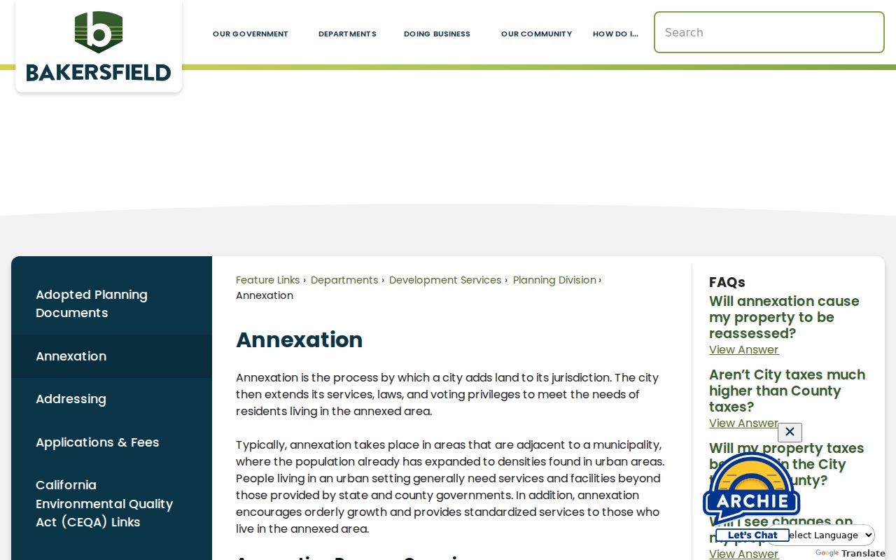
For historical files that are not exposed, send a focused request through the Bakersfield city records gateway with address, APN, and date range.
Bakersfield Neighbor Civic Records
Neighborhood questions often need a civic contact rather than a resident directory. The research sweep did not verify a complete public Bakersfield HOA, block-watch, or neighborhood association roster with member visibility. The city's neighborhood resource page is a starting point, but it should not be read as a promise of member lists. Use the following channels for geography, city records, and local civic context.
| Contact route | Best use | Limit |
|---|---|---|
| Bakersfield GIS Mapping Portal | Map parcels, addresses, ZIP, wards, and service layers | No resident or member roster |
| City neighborhood resources | Find city programs and neighborhood entry points | No verified complete association directory |
| City Records gateway | Request an identifiable city record | Does not require creation of a new people list |
| City Clerk | Municipal records, elections, legislative and addressing material | Request form, phone, fee, and timing not fully exposed in research |
The captured Bakersfield city records page shows the public-records route.
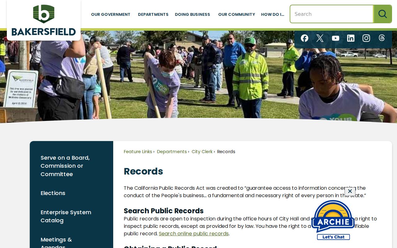
Community organizations can supply contact or history information when they choose to publish it. Membership, household, and private roster information should not be assumed public.
Bakersfield Neighbor Voter Files
California My Voter Status authenticates one voter with name, birth date, county, and identifying digits. It cannot browse Bakersfield neighbors by street or ZIP. A qualified voter-file request has a different purpose, security plan, fee, and certification process. Possible file fields include residence address, mailing address, precinct, status, party preference, registration date, and participation history, but protected voters and preregistered minors are excluded.
California Elections Code section 2194 and 2 CCR sections 19001-19012 restrict ordinary voter-file disclosure and forbid unauthorized personal, private, commercial, solicitation, harassment, and redistribution uses. Participation history shows an election date and voting method, never a ballot choice. No open official voter-by-street Bakersfield tool was verified.
For block research, use the map and parcel layers for public geography. Do not convert a restricted voter process into a neighborhood roster.
Bakersfield Neighbor Geography Comparison
Map-based official records and commercial neighbor tools answer different questions. The official chain exposes a custodian, field, date, and access rule. A commercial tool may combine purchased or public data, but the provenance can be unclear and entries can merge namesakes or remain stale. Neither category should be treated as a complete statement about who lives on a block.
| Source type | Strength | Limit |
|---|---|---|
| City GIS and Kern GIS | Parcel adjacency, layers, addresses, jurisdictions | No complete names or occupancy proof |
| Assessor and Recorder | Parcel facts, instruments, recorded parties | Owner suppression, index limits, household gaps |
| City permits and records | Physical work and city-file context | Role name is not a household identity |
| Commercial category | May offer broad clues in one interface | Stale, merged, costly, and not custodian-verified |
Official sources are slower because their boundaries are visible. That visibility is useful when the search concerns a real Bakersfield block.
Bakersfield Neighbor Mailing Geography
Neighbors can share a Bakersfield mailing line while sitting outside the incorporated city. ZIP 93308 reaches Oildale, ZIP 93313 reaches Pumpkin Center, and ZIP 93314 extends through Rosedale and northwest metro territory. The City GIS ZIP layer and city-limits layer must be overlaid before a block is assigned to a city office.
Postal geography also affects historical searching. East Bakersfield and Kern City appear as distinct older contexts, while modern mailing labels may fold them into Bakersfield. Preserve the old label in a directory or newspaper citation and compare it with the current parcel and address point.
Geography explains which map layers belong together. It never supplies a private household relationship.
Privacy Limits on Bakersfield Neighbors
Parcel adjacency is public geography, not a resident directory. GIS does not prove occupancy. Household members, minors, private utilities, delivery data, DMV information, and protected addresses remain private or absent. Safe at Home can provide a substitute mailing address for eligible California participants, and voter-file rules exclude protected voters from supplied files.
Lawful personal use. Bakersfield neighbors research can support block history, civic contact, family reconnection, and personal safety awareness. Do not use a map, address, record, or lookup to stalk, harass, threaten, intimidate, or harm anyone.
California Penal Code section 646.9 and Civil Code section 1708.7 address stalking conduct and civil harm. When a source is wrong, contact its custodian about correction or redaction. When the question expands from nearby parcels to a whole named street, use the Bakersfield street directory rather than stretching a block map beyond its purpose.