
Bakersfield ZIP Codes in City GIS
The City of Bakersfield boundary service has a dedicated ZIP polygon layer with ZIP and PO_NAME attributes. The verified city-GIS delivery polygons are listed below. These are geographic orientations, not formal neighborhood definitions and not resident lists. The postal label should be checked through USPS for a particular address before a person or parcel search begins.
| ZIP | Areas covered | Post office orientation | Directory note |
|---|---|---|---|
| 93301 | Downtown and central Bakersfield | Downtown Bakersfield | Historic core and General Delivery |
| 93304 | South-central Bakersfield | South Bakersfield | South-side delivery polygon |
| 93305 | East-central and East Bakersfield | East Bakersfield | Distinct historic East Bakersfield context |
| 93306 | East and northeast Bakersfield | Crestmont nearby facility | Check city-limit overlay for a parcel |
| 93307 | Southeast Bakersfield | Brundage | Postal and incorporated boundaries may differ |
| 93308 | North Bakersfield and Oildale | Minner and Oildale | Clearest mailing-city mismatch example |
| 93309 | Southwest-central and Stockdale corridor | Stockdale | Compare exact parcel and city line |
| 93311 | Southwest Bakersfield | Camino Media | Growth area; overlay jurisdiction |
| 93312 | Northwest Bakersfield | Oildale carrier-area history | Lost deliveries to 93314 in 2003 |
| 93313 | South and southwest, including Pumpkin Center | Pumpkin Center | Mailing city can extend beyond city line |
| 93314 | Far northwest and Rosedale | Oildale Carrier Annex origin | Created from 93312 effective July 1, 2003 |
The Bakersfield ZIP polygon layer is the source for the map view below.
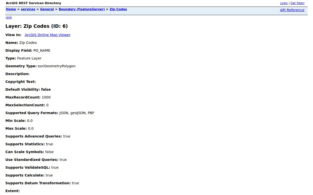
That polygon shows postal geography. It does not expose resident names.
Post Offices Behind Bakersfield ZIPs
A ZIP code directory becomes more useful when the delivery facility is kept alongside the polygon. USPS lists Downtown Bakersfield at 1730 18th Street for 93301, South Bakersfield at 3200 Larson Lane for 93304, East Bakersfield at 727 Kentucky Street for 93305, Brundage at 2525 E. Brundage Lane for 93307, Minner at 118 Minner Avenue for 93308, and Pumpkin Center at 3107 Taft Highway for 93313. These station names help interpret postal administration, but they do not define city neighborhoods.
The Downtown location lists General Delivery and PO Box service. The main or processing facility at 3400 Pegasus Drive uses 93380-9998, which is a special facility code rather than one of the eleven residential delivery polygons confirmed in City GIS. A ZIP in a mailing address can therefore refer to a station, a carrier annex, a PO box, or a regular delivery area.
The USPS city and state lookup is the final check for a particular address. Its captured screen is a lookup surface, not a Bakersfield resident directory.
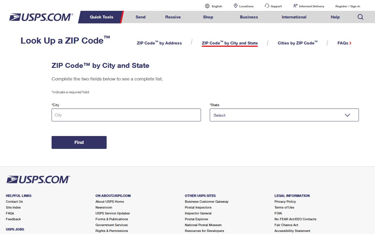
After USPS confirms the postal code, use the City GIS boundary and parcel layers to decide which local office handles the next record.
The 93314 Bakersfield ZIP Split
ZIP 93314 is a precise Bakersfield postal-history marker. A USPS Postal Bulletin established it effective July 1, 2003, moving 4,728 deliveries from 93312 and identifying the Oildale Carrier Annex. That change can make an old address appear to have a different ZIP even when the household and street did not move.
Use the 2003 bulletin when a directory, newspaper, deed return address, or family paper carries 93312 and a later record carries 93314. Keep the date of the ZIP change separate from the date of a move. Postal realignment changes delivery administration; it does not prove a change in occupant, parcel, or city jurisdiction.
A 2008 bulletin groups 93308, 93312, and 93314 under Oildale and associates 93305 and 93385 with East Bakersfield. A 2017 bulletin references alternate destinations such as 93383, 93384, 93387, and 93389. Those labels illuminate routing and should not be folded into the ordinary City GIS delivery polygons without address-level USPS confirmation.
Find Residents Within One Bakersfield ZIP
A ZIP code directory cannot directly return a list of Bakersfield residents. It can narrow the geography for a lawful records search. Begin with the exact postal address or city-state combination, then verify the code and the delivery polygon. Next compare the polygon with city limits. Only then should the search move to parcels, deeds, court records, historical directories, or another custodian.
- Confirm the address and ZIP through USPS city-state lookup or an official location result.
- Open the City GIS ZIP layer and note ZIP and PO_NAME for the polygon.
- Overlay City Limits layer 1 to see whether the parcel is inside incorporated Bakersfield.
- Use the address or APN in Kern Assessor and save the parcel key, not a guessed person name.
- Choose the record keeper: Kern Recorder for instruments, city offices for city files, court for cases, or Beale Library for older households.
The state voter tool does not provide a public ZIP filter or name browser. A qualified voter-file request has its own purpose, fee, and security rules. A ZIP narrows place; it does not open a people roster.
Bakersfield ZIP Query Fields
The local GIS query is the closest thing to a ZIP search field table. The ZIP polygon service supports attribute queries and returns geometry or selected attributes. The address layer supplies a ZIP field for individual points. The result is geographic, so the field names should be saved with the query date and service URL.
| GIS field or control | Use in a ZIP search |
|---|---|
| ZIP | Filters or labels the delivery polygon and joins the area to an address point. |
| PO_NAME | Shows the postal-name attribute tied to the polygon, which may differ from city-limit geography. |
| Address point ZIP | Checks the ZIP stored with a specific point, subject to the city warning about nonmailing points. |
| where | Applies an attribute query, including a request for all ZIP polygons. |
| outFields | Selects fields such as ZIP and PO_NAME instead of requesting every field. |
| returnGeometry | Controls whether the response includes polygon shape or only the selected attributes. |
The captured query URL returns ZIP and PO_NAME without resident data.
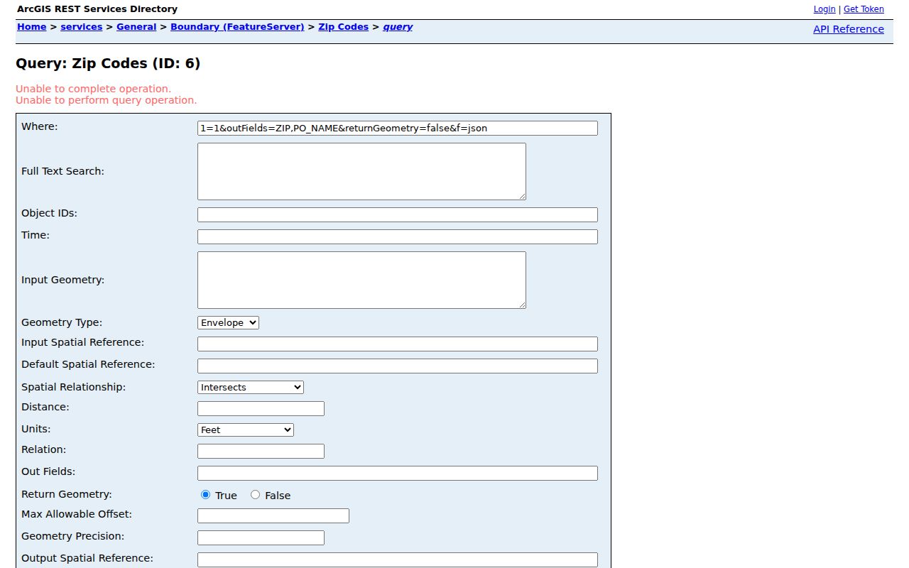
Use the returned ZIP as a geographic filter for parcel review, not as a substitute for a named record.
Bakersfield ZIP and City Boundaries
ZIP boundaries and Bakersfield city limits answer different questions. ZIP 93308 includes Oildale. ZIP 93313 includes Pumpkin Center. ZIP 93314 extends through Rosedale and northwest metro territory. A mailing line that says BAKERSFIELD, CA therefore does not establish that a property sits inside the incorporated city.
- ZIP code
- A USPS delivery routing label. It can cross municipal lines and can include facility or PO-box uses.
- ZIP+4
- A more precise delivery extension used by USPS. It is not a parcel identifier or resident key.
- PO-box or special-use code
- A code associated with a box, station, carrier annex, or facility rather than ordinary residential delivery.
- ZCTA
- A Census statistical approximation built from address patterns. It is not the same as a USPS ZIP delivery boundary.
Compare the ZIP polygon to City Limits layer 1 before selecting a city custodian. The city-limit service includes annexation polygons since 1965, which provide a later jurisdiction timeline independent of postal realignment.
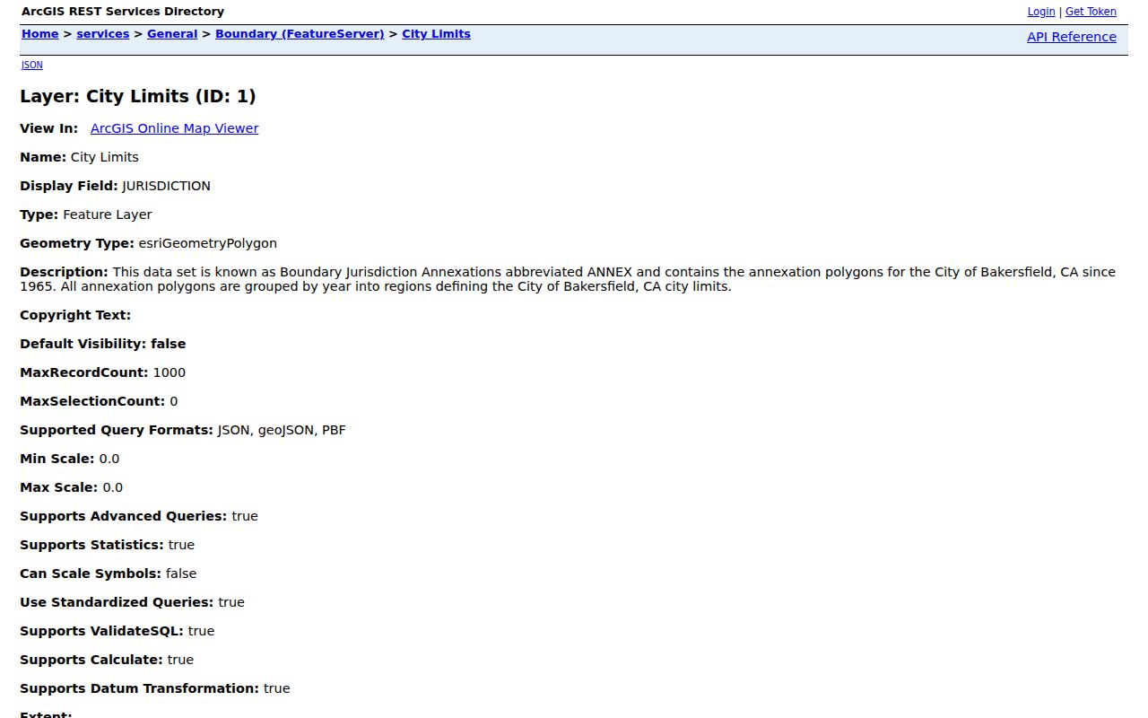
The city-limits image helps show why a ZIP code directory must remain a postal map, not a city-resident claim.
Bakersfield ZCTA and ZIP Difference
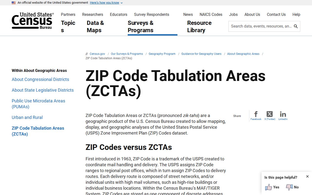
Census ZIP Code Tabulation Areas are statistical approximations. The Census assigns a block to the ZCTA associated with the most addresses in that block. That makes a ZCTA useful for population tables and geographic analysis, but it does not reproduce USPS delivery rules or guarantee that every address inside the shape uses the same ZIP.
When a Census profile or map is used with Bakersfield research, record the table or profile vintage and label the geography as a ZCTA. Do not use a ZCTA boundary to decide whether a deed, permit, voter request, or court record belongs to a city office. USPS and the local custodian control those questions.
The Census ZCTA guidance is the source for the distinction shown here.
Statistics can describe an area. They cannot identify a household without a separate, lawful record.
Bakersfield Special Postal Codes
Keep ordinary delivery polygons separate from codes that appear in routing, facility, or alternate-destination material. The research did not verify current USPS address-level results for every special code. Treat 93302, 93303, 93380, 93383, 93384, 93385, 93387, and 93389 as separate questions until USPS confirms the address.
93380-9998 is tied to the Bakersfield main or processing facility. The 2008 bulletin groups some codes under Oildale or East Bakersfield for destination labeling. The 2017 bulletin references alternate destinations that can appear in administrative records. A code in an old letter, business filing, or directory should be preserved exactly and then checked against the relevant USPS bulletin or lookup.
These exceptions matter for historical resident work. A phone book, deed return address, or directory entry may preserve a postal label that later changed, while the street and parcel remained the same. Use the change date as context, not as proof of a move.
Bakersfield ZIP Annexations and Geography
Bakersfield's annexations changed the city line independently of the ZIP system. The official city-limits layer describes annexation polygons since 1965. A parcel may sit inside an annexed area while retaining a postal label shared with nearby unincorporated territory. The reverse can also occur: a Bakersfield mailing city can describe land outside the incorporated line.
For a record request, save three fields together: the USPS-confirmed ZIP, the City GIS ZIP polygon, and the city-limit or annexation result. That set explains why an address may route to one station, appear in a county parcel viewer, and still fall under a city department or county office for a particular record.
Where the question becomes who lives along the selected street, move from ZIP geography to the Bakersfield street directory and its address-keyed parcel chain. ZIP remains the filter, not the resident answer.