
Find Bakersfield Streets by Address
A Bakersfield street directory search should begin with the smallest reliable address clue. The Kern Assessor Property Search accepts a street name with an optional number, while Bakersfield GIS can place the address point beside parcels, ZIP polygons, wards, zoning, and service layers. The deed index then works from a known person or document. Since the public assessor card suppresses owner names, the chain is an evidence path rather than a one-click resident roster.
Keep a research note for every parcel. Record the exact address, APN or ATN, map link, legal-description language, source date, and whether the point is marked as a mailing address. Then walk the chain in order:
- Enter the street name and, when known, the number in the Kern Assessor search. Omit street type, city, and ZIP.
- Open the Bakersfield address point and parcel layers. Compare APN, ATN, street components, unit data, and the map position.
- Use a lawful owner or recorded-party clue to search the Kern Recorder grantor-grantee index by both roles and a likely date range.
- Check city permit or code records for construction, alteration, demolition, or use history, while labeling each named role.
- For past households, compare the address with city directories, telephone books, newspapers, census schedules, and Sanborn maps.
Bakersfield Street Assessor Search
The Kern property site is the first address tool because it can turn a street clue into a parcel key. Its instructions say that an address search uses the street name with an optional number and that city and ZIP should be left out. Matching is prefix based, so a short term can bring back similarly named streets. Results are limited to the first 100 matches. A house number, tighter street spelling, APN, or ATN reduces that noise.
The web result exposes public parcel facts such as APN or ATN, situs, values, use and characteristics, and a parcel-map link. It does not expose owner names or owner mailing addresses. The county cites Government Code section 6254.21 for these limits. That distinction matters in a Bakersfield street directory: the card tells where the parcel is and how it is characterized, but it does not state who currently lives there.
| Search field | Required or format | What to retain |
|---|---|---|
| APN | Required for APN mode; 8 or 9 digits, with or without dashes | Parcel key and later kiosk or map match |
| ATN | Required for ATN mode; 10 or 11 digits, with or without dashes | Tax account key |
| Address | Street name with optional number; omit type, city, ZIP | Exact situs, map link, use, and result count |
| CAPTCHA | Displayed image text when prompted | Whether a fresh session was needed |
| Result count | First 100 address matches | Need to narrow broad streets |
The Kern Assessor application gateway may route through a security gate before the search. The county's GIS data instructions describe a fuller tax-roll and geometry order, while the county's property services directory helps route parcel and tax questions. If the web card is not enough, use the APN and legal description at the Recorder counter, in a kiosk, or in a focused request to the actual custodian.
The Kern public parcel viewer supplies a second visual check on the parcel relationship.
A parcel layer can anchor the next step, but it remains a land record. The named resident question requires another source.
Bakersfield GIS Street Layers
Bakersfield's QueryMap is the practical street-browse surface. Its layers include intersections, addresses, roads, tracts, sections, parcels, parcel maps, ZIP codes, wards, land use, zoning, general-plan areas, service areas, tentative tracts, tentative parcel maps, and city limits. The countywide GIS viewer adds broader parcel context. Pan along one block and identify each address point instead of treating a street name as one undivided record.
The address-point service exposes APN, ATN, STREET_NAME, OLD_ADDRESS, ADDRESS, NUMBER, fraction, prefix, name, type, suffix, unit, source, comment, floor and building fields, ZIP, and IS_MAILING_ADDRESS. That last field is vital. The city warns that some points label meters or cartographic features rather than deliverable addresses. A street directory result should therefore record the point's status before it is used as a household clue.
GIS supports repeated identify and spatial or distance queries, with service result limits. QueryMap allows up to 1,000 records and 2,000 selected records in the documented configuration, while an address service can have a 300-record setting. Those are map-service limits, not counts of residents. GIS can show adjacent geography and public attributes, but it does not supply owner names.
The Bakersfield QueryMap layer service is the source for the captured view.
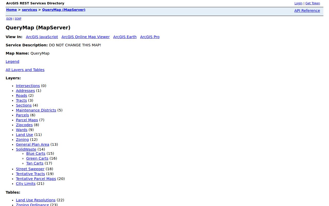
Use the map to find the right parcel and the right jurisdiction. Use the Recorder, assessor counter, or another lawful custodian channel for the named-party question.
The city cadastral layer adds the parcel attributes that connect early blocks, additions, and modern map references.
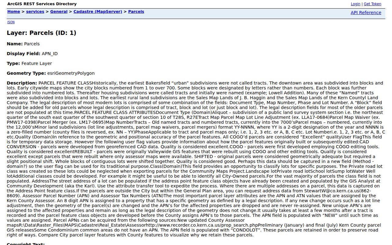
Read cadastral fields as map evidence, then confirm named parties through a separate record.
Bakersfield Addressing Records
Street names and numbers have a local history. Bakersfield's 2005 Addressing and Street Naming Program says Planning maintains a master street file and weighs historical significance, the segment with the fewest homes or address changes, the oldest name, neighborhood fit, and the longest or best-known use when names are consolidated. When a deed or directory address no longer resolves, the master file can bridge the older language to the current street.
The city cadastral layer also records an unusual legal-description story. Early urban subdivisions used downtown blocks and lots rather than modern tract labels. Early maps numbered blocks from 1 through more than 700, sometimes with lettered blocks. Named additions such as Lowell Addition used block and lot descriptions. Rural descriptions include J. B. Haggin Sales Map Lands and Kern County Land Company Sales Map Lands. Modern parcel descriptions more often combine a map number, phase, and lot.
Compare the Bakersfield Addressing page and its 2005 program with the city parcel service before assuming an old address was mistyped.
OLD_ADDRESS in the GIS address layer is a useful bridge, but a historical legal description remains the stronger continuity clue when street names, numbers, or parcel geometry change.
Bakersfield Street Records by Address
Several record sets can be searched or organized around a Bakersfield address. They do not carry equal weight. A deed is documentary evidence of a transfer. A tax record supports parcel status. A permit names people involved in a project. A directory places a household at an edition date. A voter record is restricted and cannot be browsed by street through the public state tool.
| Record set | Keeper | Address value | Access |
|---|---|---|---|
| Parcel card | Kern Assessor | APN, ATN, situs, use, values, map link | Free web card, owner names suppressed |
| GIS address and parcel | Bakersfield GIS and Kern GIS | Points, parcels, old address, ZIP, layers | Free viewers and services |
| Recorded documents | Kern Recorder | Parties, class, date, instrument number | Online index, kiosks, in-person or mail copies |
| Permits and code files | Bakersfield Development Services | Work, dates, applicants and professionals | Permit portal or city records request |
| Historical directories | Beale Memorial Library and repositories | Past household and street entries | Room use, microfilm, archives, and catalogs |
Use APN or legal description to join the parcel card to a deed. Use the street and number to find the address point. Use a person or document number to enter the Recorder index. This chain is more precise than searching every record by street alone.
California My Voter Status is not an address-keyed public source. Qualified voter-file requests have a separate purpose and security process. No open official Bakersfield voter-by-street browser was verified, so a street directory should never promise one.
Bakersfield Permit Records by Address
Bakersfield Development Services combines Building, Planning, Code Enforcement, land division, addressing, GIS, electronic planning applications, Public Works GEOWEB, and a street-moratorium map. The permit and status route is the city's online application and status page. ProjectDox supports selected Building, Planning, Fire, Water Department, and Public Works applications for new construction, revisions, and deferred submittals, and requires a login. Not every permit type is available through the current electronic route.
The Building Division counter is at 1715 Chester Avenue. Published city forms use 661-326-3720 or 661-326-3733 for different building functions. The building permit application asks for project address, suite or building number, planning site-plan-review number, project or business name, APN, tract or parcel information, architect or engineer, license details, telephone, and work description.
Those fields can date an addition, demolition, change of use, or construction phase. They can also name an applicant, contractor, architect, engineer, owner, or business. None of those roles alone establishes who lived at the address. When the portal does not expose older files, send a focused request through the Bakersfield city records gateway with the exact address, APN, and date range.
Bakersfield APN and Legal Records
The APN is a bridge, not a person. It can join a parcel card, GIS geometry, tax data, a map, a permit, and a Recorder kiosk search. APNs can change when parcel geometry changes, and a newly recorded tract may show NEW for months before assignment. Condominium common areas may use CONDOLOT. The legal description can outlast those changes by preserving a map, phase, lot, block, or older land framework.
- Parcel
- A mapped unit of land with an APN or ATN. It describes the land unit, not every household member.
- Situs address
- The physical location of the parcel. It may differ from a tax or document mailing address.
- Plat or parcel map
- A recorded map that helps connect lots, blocks, tracts, phases, and boundaries. It is not itself proof of occupancy.
- Criss-cross directory
- An address-first directory that can reverse a street or house number into a named household for a specific period.
For an old Bakersfield address, preserve both the modern APN and the historical block, lot, tract, phase, or Sales Map Lands language. That pair makes a later Recorder or library search much less fragile.
Bakersfield Deed Chains Along Streets
The Kern Recorder describes a grantor-grantee system rather than one unified property file. A street-level deed chain therefore starts with a known person, document number, date, or counter source. Search the current grantee, inspect the acquisition document, identify the predecessor grantor, and repeat backward. Save every instrument number, date, document class, indexed party, book or page reference, return address, and legal-description clue.
Search both grantor and grantee roles. Test spouses, trusts, entities, successor trustees, initials without periods, and legal names rather than nicknames. A document class search can help when spelling is unknown. The online index covers name, number, date, and class paths, while APN searching remains at the Hall of Records and Recorder Annex kiosks after the 2024 change. The county has not published the exact historical cutoff for the online index.
Copies are ordered in person or by mail. The Recorder FAQ explains the grantor-grantee system, and document-recording instructions cover counter details and standards. Mail goes to Hall of Records, 1655 Chester Avenue, Bakersfield, CA 93301, with a check or money order payable to Kern County Recorder and a self-addressed stamped envelope. The search fee remains due if no record is found. Read the current county fee schedule before asking for a certified copy or multiple pages.
Bakersfield Criss-Cross Street Records
Older street evidence comes from the library and repository shelf, not the current assessor web card. Beale Memorial Library reports Bakersfield city directories from 1899 and Kern County telephone books from 1940. Directory volumes can connect a street and number to a household for an edition year, while telephone books add later address and phone clues. NARA's Bakersfield list for 1927-1932, Newberry's 1922 and 1924 holdings, and FamilySearch's 1962 catalog extend the search beyond the local room.
Call the Local History Room at 661-868-0771 before visiting. Materials are room-use only, and staff availability controls access. Ask for the street section, householder section, reverse or criss-cross volume if one exists, and the related newspaper or microfilm run. The library does not publish a complete reverse-directory year list, so the presence of a volume must be confirmed rather than assumed.
Use an old address as a historical snapshot, then compare adjacent editions, census schedules through 1950, a Sanborn map, a deed, or a newspaper notice. A directory can show who was listed at a place, but it cannot by itself establish present occupancy or a legal title.
Limits of a Bakersfield Street Directory
A street directory will not reliably list every person connected to a parcel. Property records omit many household members. A deed's return address is for document delivery, not proof of residence. A business address may belong to an agent or office. California DMV personal data is restricted under the federal Driver's Privacy Protection Act, and private utility or delivery records are not an open street roster.
| Question | Best evidence | What remains unproven |
|---|---|---|
| Where is the land? | Assessor card and GIS address point | Who occupies it |
| Who transferred an interest? | Recorder index and recorded image | Every household member |
| Who was listed in an old year? | City directory, telephone book, newspaper | Current presence |
| What changed physically? | Permit, code file, Sanborn, parcel map | Personal relationships |
Lawful personal use. Bakersfield street and address records support family history, property research, civic curiosity, and personal safety awareness. Do not use them to stalk, harass, threaten, or intimidate anyone; protected addresses and private household facts must remain protected.
When the goal shifts from a whole street to one person, use the Bakersfield resident lookup workflow and require independent matching facts. A street name alone is too broad to carry that conclusion.